


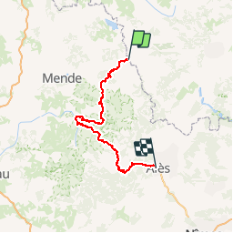

33 km | 46 km-effort


Utilisateur


Application GPS de randonnée GRATUITE
 SityTrail
IGN / Instituts géographiques
SityTrail World
Le monde est à vous
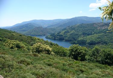
Randonnée Marche de 156 km à découvrir à Occitanie, Lozère, La Bastide-Puylaurent. Cette randonnée est proposée par grinfos.
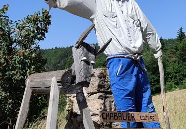
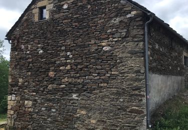
Randonnée avec le GR70 Chemin de Stevenson à travers le Languedoc-Roussillon par la Lozère, l'Ardèche et le Gard de La Bastide-Puylaurent à Alès. Gîtes d'étapes, Chambres d'hôtes, Hôtels, Camping, Refuges, Auberges.

Marche

Marche
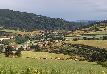
Marche

Marche
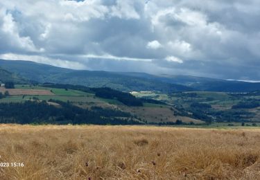
Marche
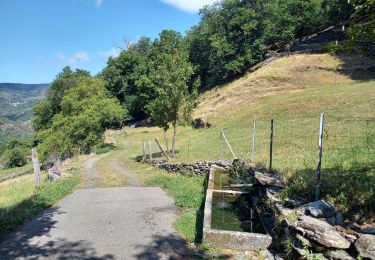
Marche
Marche
Marche
Marche